Contact Gulf Coast Drone LLC
Reach out for drone photography and videography services today!


Contact Us
Located in Bartow, Florida, we specialize in aerial drone photography and videography for various commercial and industrial projects, traveling across the U.S. to meet our clients' needs.
Location
Bartow, Florida 33830
Hours
Saturday - Sunday 7AM - 7PM
Frequently asked questions
What services does Gulf Coast Drone LLC offer?
We specialize in aerial drone photography and videography for residential and commercial real estate, construction, inspections, post disaster assessment, and marketing. We also provide 3D virtual tours, interior and exterior real estate photography, FPV drone footage, and general photography services.
Do you have the proper certifications and insurance?
Yes! Our lead pilot, Joshua, holds an FAA Part 107 certification along with multiple OSHA and DroneDeploy certifications. We are fully insured for all drone operations and also carry additional coverage through the Professional Photographers of America (PPA) to ensure comprehensive protection for both aerial and ground-based photography services.
How do I book a service?
You can book a service by contacting us through our website, social media, or phone. We recommend scheduling at least a few days in advance.
Where can I learn more about you?
You can explore other sections of this website, such as the "About Us" page or our blog, to learn more about our company, mission, and team.
Why should I use drone photography for real estate?
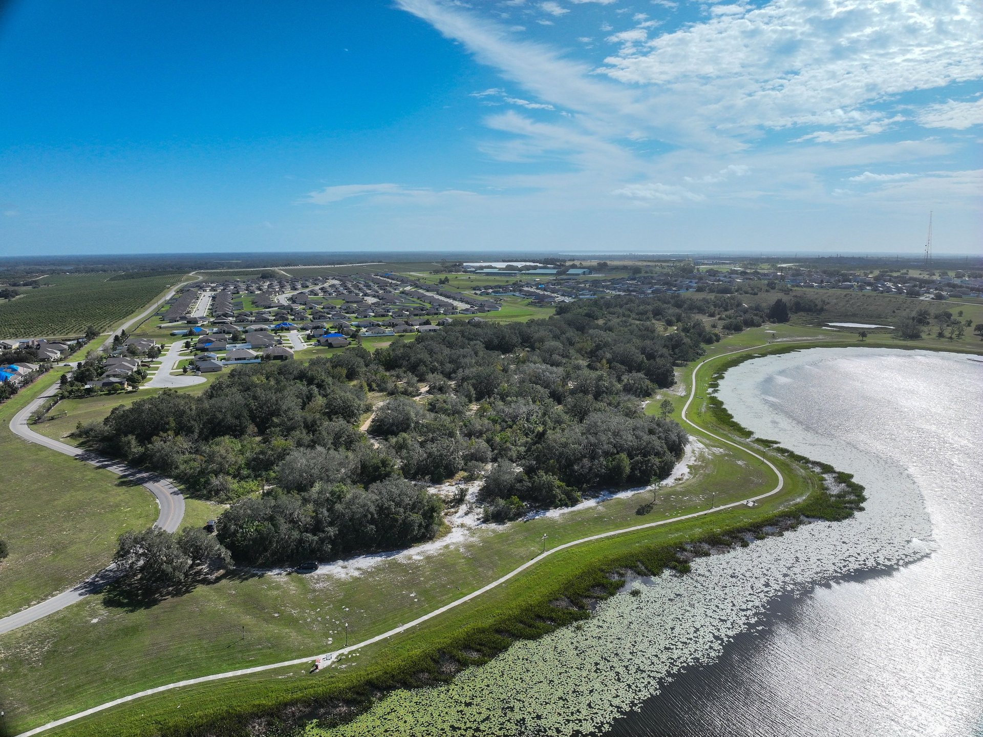
Aerial imagery provides stunning, high-quality perspectives that highlight property features, location, and surrounding amenities, making listings stand out and attract more buyers.
What is included in your real estate photography package?
Our packages vary based on client needs but typically include high-resolution aerial photos, interior and exterior photography, and optional Matterport 3D virtual tours.
How long does a real estate shoot take?
Most shoots take 30 minutes to an hour, depending on property size and package selection.
When will I receive my photos and videos?
We offer a quick turnaround, usually delivering edited photos within 12-48 hours
Do you offer aerial mapping and inspections?
Yes! We provide aerial mapping, cell tower inspections, infrastructure assessments, and post-disaster documentation using drone technology.
Can drones be used for marketing purposes?
Absolutely! We create high-quality aerial videos and photos for marketing commercial properties, resorts, golf courses, and other businesses.
Do you work with construction companies?
Yes, we assist construction projects with progress tracking, site inspections, and 3D modeling using drones.
How much do your services cost?
Pricing varies based on the project. Contact us for a customized quote.
What is your cancellation policy?
We require at least 24 hours' notice for cancellations or reschedules.
Do you offer discounts for bulk projects or long-term contracts?
Yes! We provide special pricing for recurring clients and bulk projects. Contact us for details.
Can you fly drones in bad weather?
For safety reasons, we do not operate drones in heavy rain, strong winds, or lightning conditions. We reschedule in cases of bad weather.
Are there any restrictions on where you can fly?
Yes, we adhere to FAA regulations and may need special permissions for certain locations, such as near airports or restricted airspace.
What type of equipment do you use?
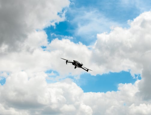
We use professional-grade drones, including the DJI Mavic series, DJI Avata, and the Matterport 3 Pro for high-quality 3D imaging.
